We are putting final touches on the orchard maps for our local Orchard Inventory volunteers. Each one of 1741 Scottish orchards identified in the Inventory’s desk study has its own map which is used by a volunteer to verify its current location, size and condition during the field visit. Katherine Bellamy, our GIS guru, is working on the last few maps for the 129 of the Highland orchards right now. We asked her to pick a couple that caught her eye.
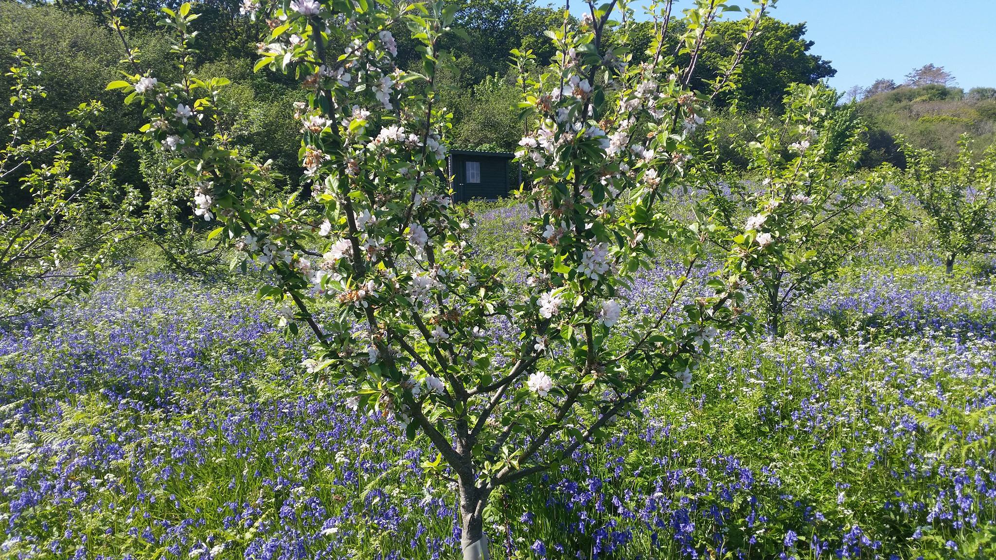
Community Orchard on Isle of Eigg, planted in 2010, is one of the youngest in the Highland and Island area. Despite its young age it has some fascinating history behind it. Since its community buy-out 19 years ago, the island has become world-famous in environmental and land-reform circles and the orchard seems to have been established as a part of the community initiative for the island to go green.

The orchard still seems to be in fine fettle today. How do we know? It regularly features on social media around May each year as one of the Highlands and Islands bluebell beauty spots!

Another of Katherine’s favourites was an orchard at Letterewe Estate. It won her prize for the most remote mainland location as it can only be accessed by boat across Loch Maree. This one is much more mysterious. All we know about it is that it appears on the Ordnance Survey maps from 1860 and it was likely a part of the Estate’s walled garden at the time. This is quite exciting as it may still contain some very old fruit trees. But we won’t know for sure until somebody pays it a visit!
We need local field volunteers to verify the findings of our desk study by visiting orchard sites like these in the Highlands and elsewhere in Scotland. For the full list of the areas we need help with please, and instructions on how to get in touch, please see our previous post.
